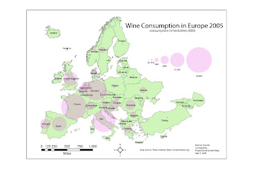
I set the circles to 25% transparent to allow the viewer to see the country name and borders. I had to check the web to get units in the excel sheet and volume for Germany. I selected European Lambert Coformal Conic because tit was in mid latitude, and has the east-west extent of the region. This projection preserves shape which is more important than area for this map. I was able to copy the circles with the ctrl c ctrl v command and it was easy to keep the format of the circles size and transparency. It was odd where it makes the copy though. Still having trouble with the layers. I was able to center the legend symbols using the x,y coordinates.

No comments:
Post a Comment